

Floodmap shows the world without ice
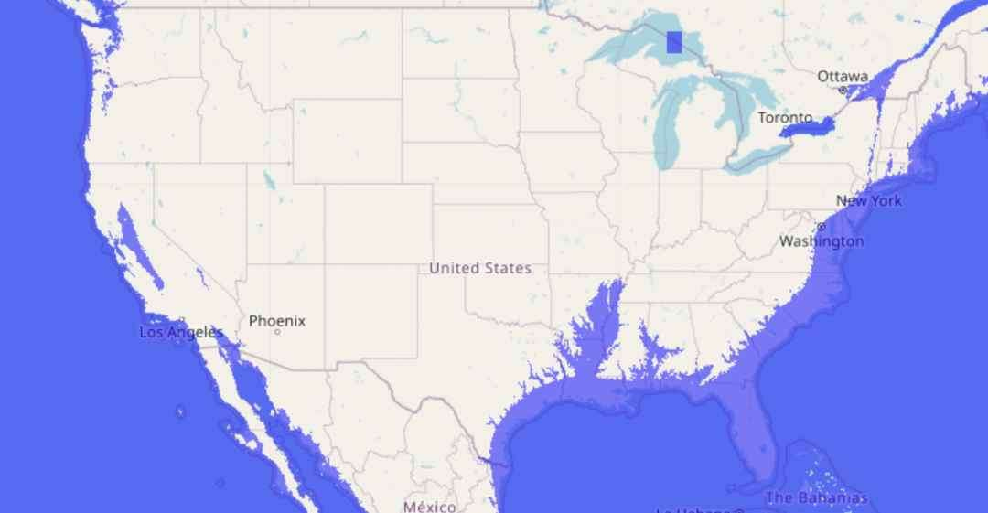
FloodMap shows maps depicting the outcome of raised (or lowered) sea levels on the world’s coastlines. It uses OpenStreetMap data, has a box to enter how many meters of water you’d like added or removed, and has topical forecasts of flooding and a newfangled 3D visualizer. It doesn’t do anything fancy like simulate erosion or isostatic rebound.
Above is …